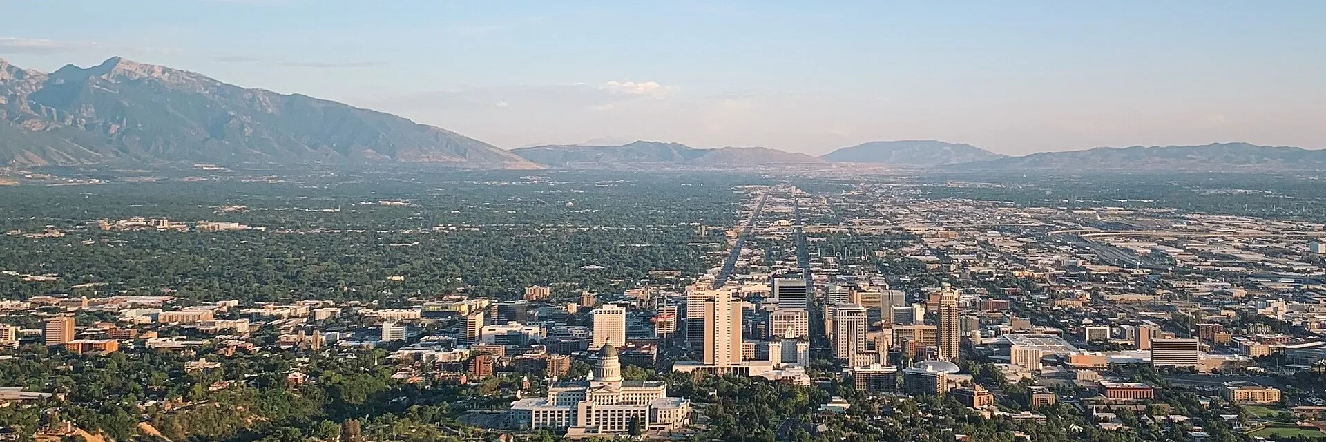
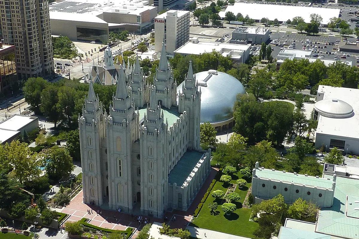
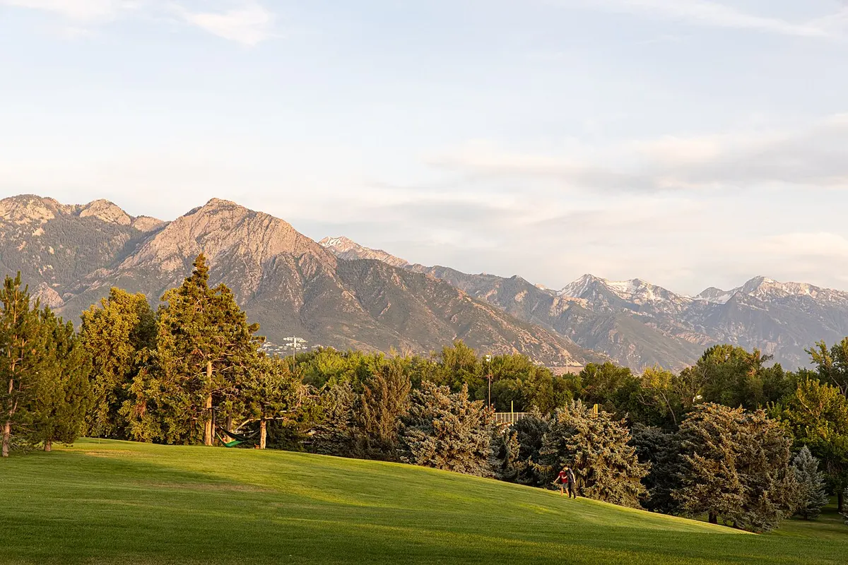
Salt Lake City sits between the Wasatch Mountains and the Great Salt Lake. Stay downtown to walk to Temple Square, the Salt Palace and the main TRAX stops. Pick Sugar House or the University area if your days are on the east side.
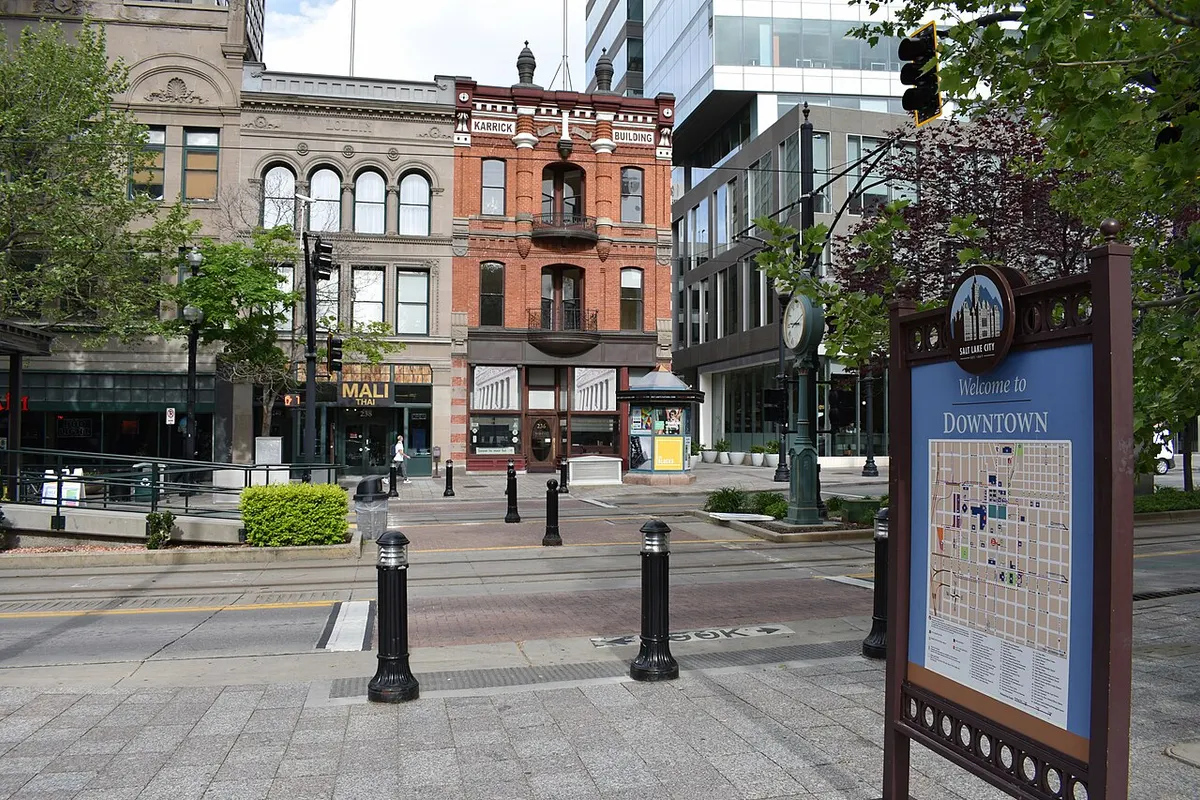
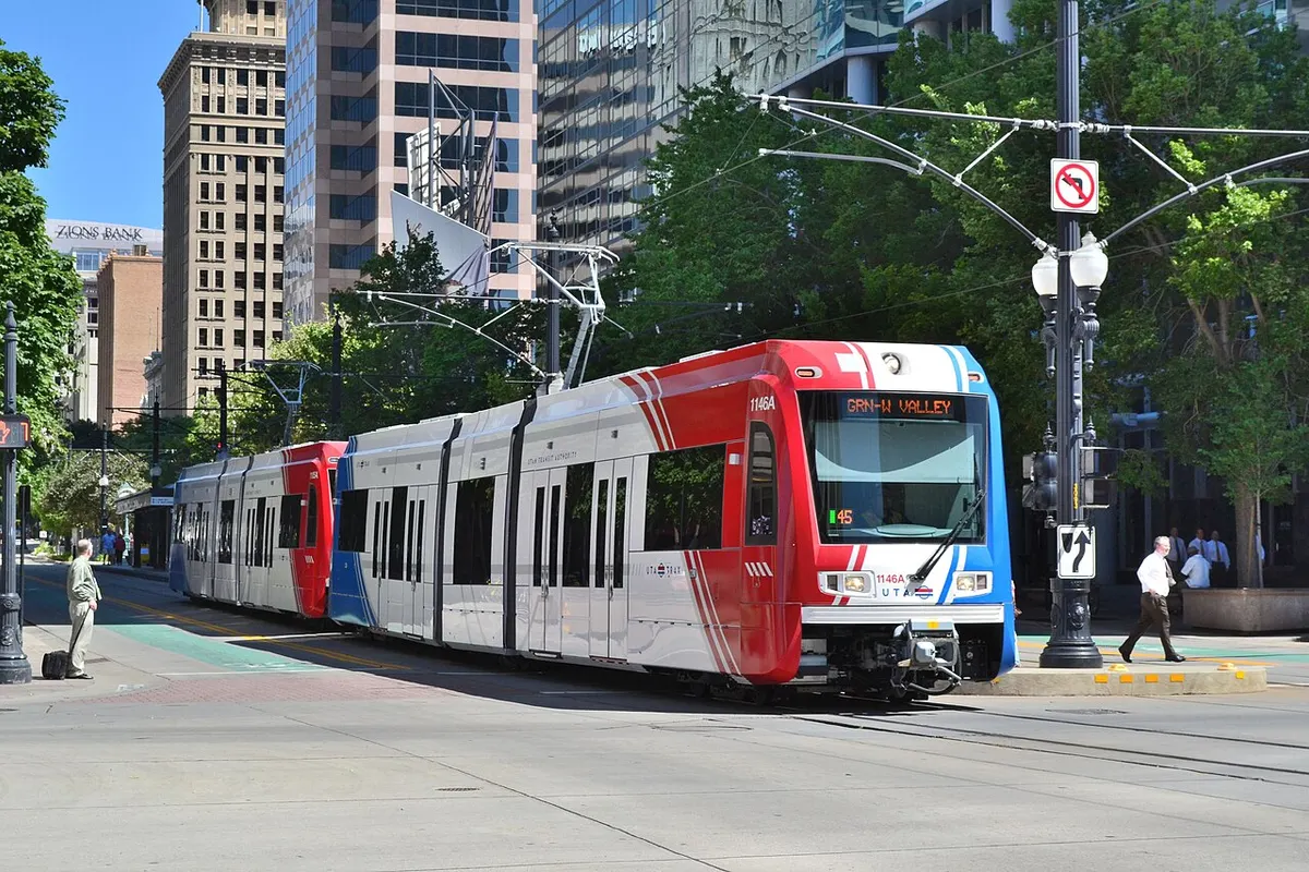
Downtown blocks around Main Street and South Temple are a short walk from Temple Square, the Salt Palace Convention Center, City Creek Center and the Utah Museum of Contemporary Art. The Green Line runs from the airport into the center, and other TRAX lines cross downtown. On a short visit, a hotel near a station saves you transfers.
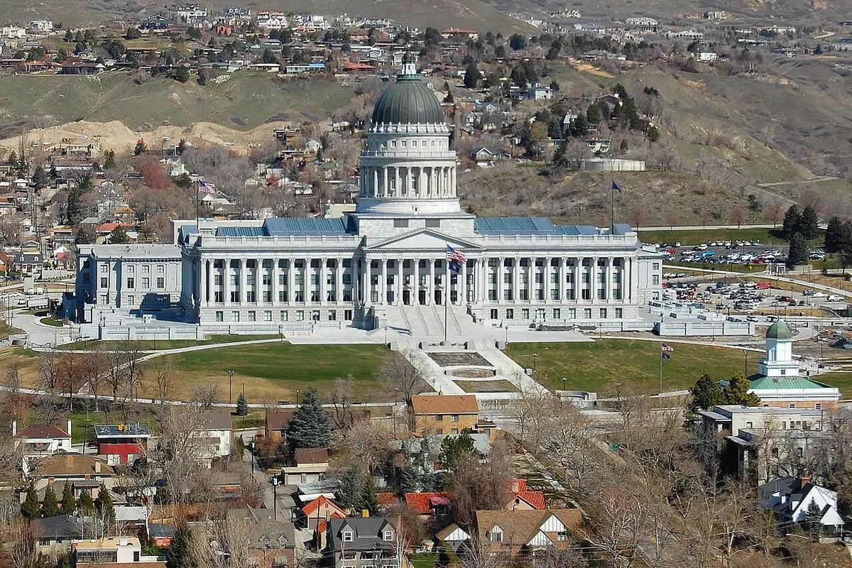
West of the main shopping streets, the Depot and Granary districts have converted industrial buildings, music venues and restaurants. The area is more spread out than the Temple Square blocks, so check the walk to your station or venue. North of downtown, Capitol Hill and the Avenues rise toward the Utah State Capitol and Memory Grove. It is uphill all the way, even when the map makes it look close.
The University of Utah and the Natural History Museum of Utah sit east of the center. The Red Line runs to the university, but the museum is uphill from the rail stops. Sugar House, farther south, has neighborhood shops, restaurants and Sugar House Park. The S-Line streetcar runs from its western side to Central Pointe, not straight downtown.
Summers in the valley are hot and fairly dry. Winter brings cold days and snow, especially on the nearby mountain slopes. The ski resorts are outside the city, a separate trip from any hotel here. For a downtown-only trip, airport rail and local transit can replace a car. For trailheads, resorts and scattered neighborhoods, rent a car or allow for a longer transit ride.