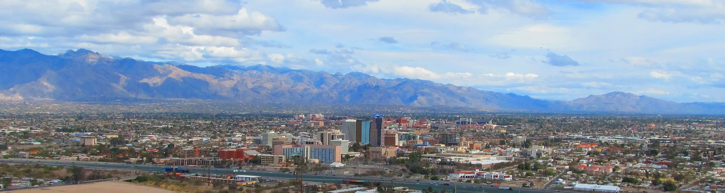
Downtown Tucson and the Santa Catalina Mountains seen from Sentinel Peak
Hotels70

Budget stays

Cheap hotels in Tucson

A cheaper room near TUS is fine for a short stop. For a few days in town, Fourth Avenue keeps you on the streetcar into downtown.

from $50/night866 hotels compared

We compare hotels from top providers

/logo/skyscanner.svg logo/logo/kayak.svg logo/logo/trip.com.svg logo/logo/hotelscombined.svg logo/logo/booking.com.svg logo

About Tucson

Tucson spreads across the Sonoran Desert between the Santa Catalina Mountains and the two halves of Saguaro National Park. Stay along the Sun Link streetcar for downtown and University of Arizona days. Pick the Catalina Foothills for mountain views and a quieter resort stay.

Downtown centers on Congress Street, the Rialto Theatre and Hotel Congress. The Sun Link streetcar runs from there to Fourth Avenue, Main Gate Square and the University of Arizona, so a central hotel lets you skip the car on that corridor. You still need a ride to the desert parks.

Fourth Avenue has independent shops and restaurants between downtown and the university. At the streetcar’s western end, Mercado San Agustín and the MSA Annex have local food next to Mission Garden and Sentinel Peak. South of the convention center, Barrio Viejo’s adobe streets are good for a walk, but there are fewer hotels than downtown.

The Catalina Foothills resorts sit below the mountains, closer to Sabino Canyon. Saguaro National Park comes in two parts: the Rincon Mountain District east of town and the Tucson Mountain District to the west. Check which entrance you need. The Arizona-Sonora Desert Museum is on the west side.

Tucson International Airport is south of the center. Sun Tran Route 25 runs to downtown. Foothill hotels beyond the streetcar mean a taxi or rideshare. June and July afternoons average above 100°F, so do exposed walks early. The main rain season is July and August.
State
Arizona
Time zone
Mountain Standard (MST)
Main airport
Tucson International (TUS)
Airport to downtown
About 8 miles
Streetcar
Sun Link
Desert parks
Saguaro East and West
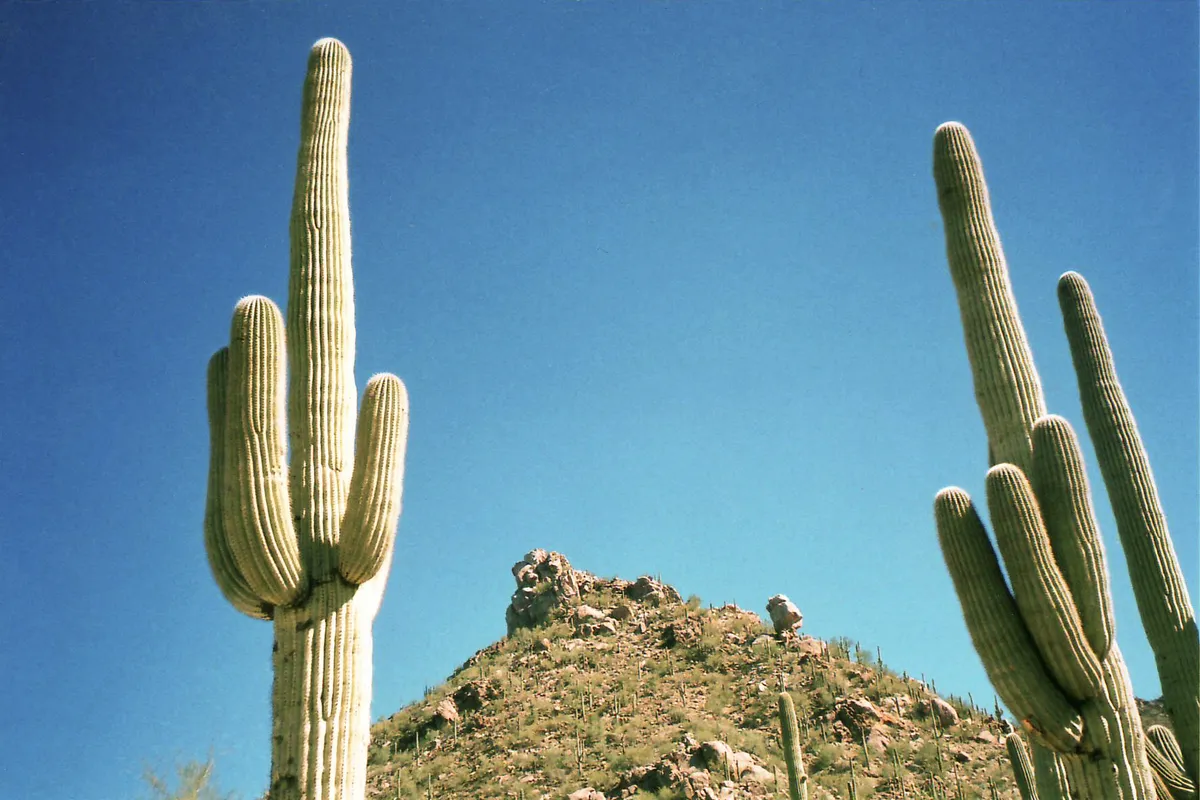
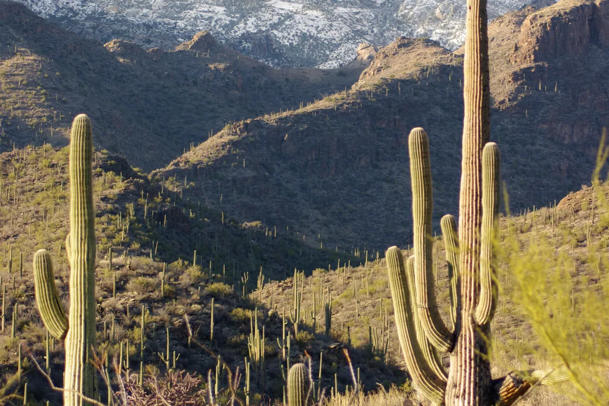
Saguaro cacti on a hillside in Saguaro National Park
Saguaro National Park
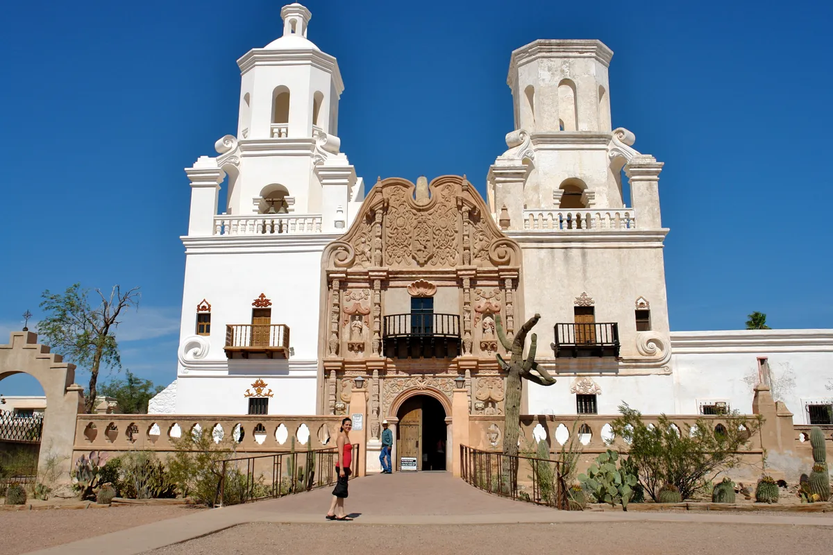
White facade and twin towers of Mission San Xavier del Bac
Mission San Xavier del Bac
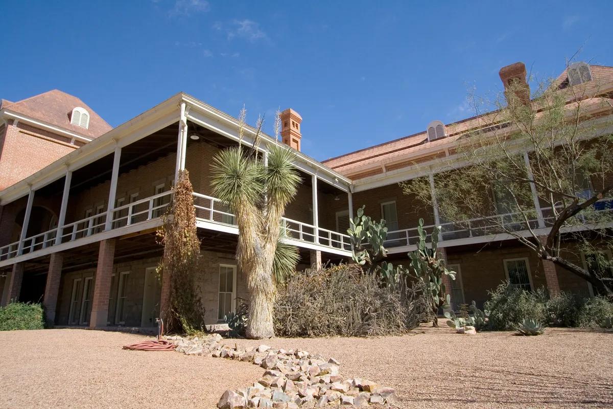
Old Main building on the University of Arizona campus
University of Arizona Old Main
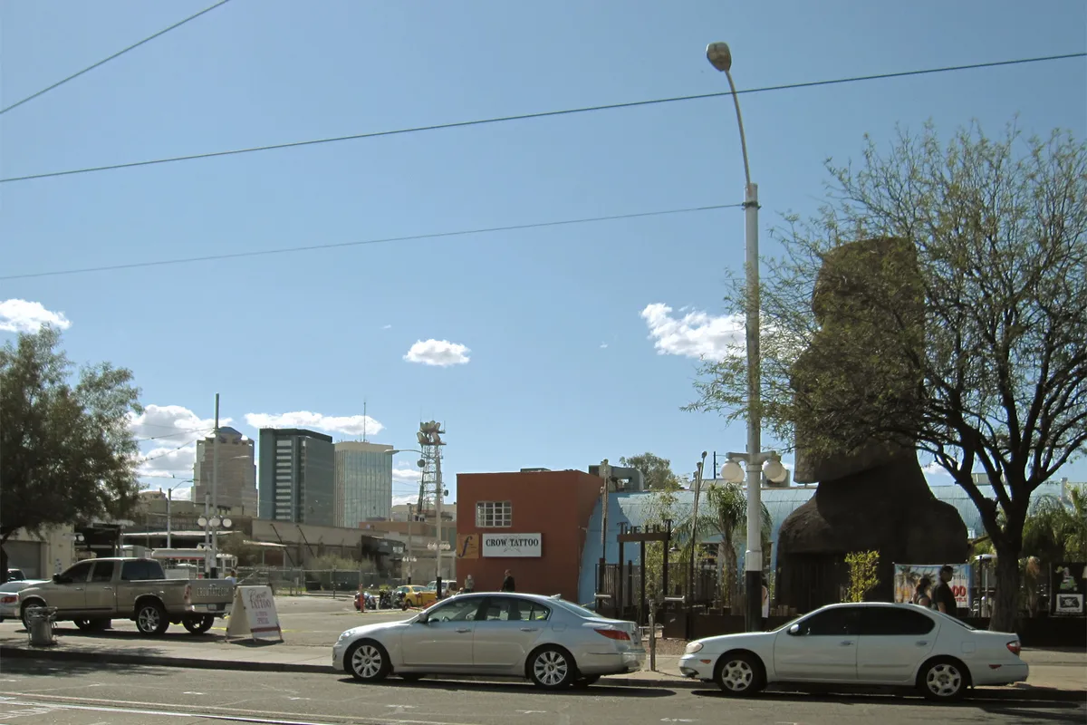
Shops and street scene along Tucson’s Fourth Avenue
Fourth Avenue
Rocky desert landscape in Sabino Canyon
Sabino Canyon
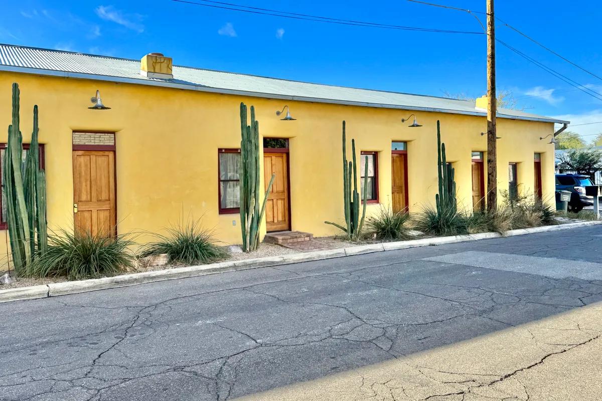
Historic adobe building on 17th Street in Barrio Viejo
Barrio Viejo
Photo credits

Where to stay in Tucson

  • Downtown and Congress Street

    • First visits
    • Streetcar trips
    • Performances
    • Convention events

    The Rialto Theatre, Hotel Congress, Tucson Convention Center and Amtrak depot are close together downtown. Sun Link stops on Congress run to Fourth Avenue and the university. Pick downtown to walk to dinner and a show. Mountain trailheads still need a ride.

    Around here: Rialto Theatre, Hotel Congress, Tucson Convention Center

  • Fourth Avenue and the University

    • Campus visits
    • Independent shops
    • Car-free city days
    • Evenings out

    Fourth Avenue’s shops and cafés sit between downtown and Main Gate Square. Streetcar stops continue through the University of Arizona campus, handy for campus visits and museums. Expect a livelier evening scene near Fourth Avenue than in the foothills.

    Around here: Fourth Avenue, Main Gate Square, University of Arizona Old Main

  • Mercado and Barrio Viejo

    • Local food
    • Historic streets
    • Sentinel Peak outings
    • Quieter evenings

    Mercado San Agustín and MSA Annex anchor the west end of Sun Link near Mission Garden and Sentinel Peak. Barrio Viejo lies south of downtown, with historic adobe blocks around Convent Avenue. Stay here for the old westside streets, and check the walk to the nearest streetcar stop.

    Around here: Mercado San Agustín, Mission Garden, Barrio Viejo

  • Central Tucson and Reid Park

    • Families
    • Gardens
    • Road trips
    • Long stays

    Reid Park Zoo and Tucson Botanical Gardens are closer from central Tucson than from downtown. It is a practical pick for families with a car, and for long stays with errands along Broadway Boulevard. Sun Link does not run through Reid Park.

    Around here: Reid Park Zoo, Tucson Botanical Gardens, Broadway Boulevard

  • Catalina Foothills

    • Resort stays
    • Sabino Canyon
    • Mountain views
    • Pool days

    These resorts sit below the Santa Catalina Mountains, closer to Sabino Canyon and the foothill trails. Come for pool time and mountain views. Downtown restaurants, the airport and Saguaro West are farther away, so plan on a car.

    Around here: Sabino Canyon, Santa Catalina Mountains, Ventana Canyon

Best time to visit Tucson

October through April brings milder days for Saguaro National Park and Sabino Canyon. Spring warms quickly, and summer heat pushes hikes to early morning. July and August are the wettest months, so plan hikes before the afternoon monsoon storms.

Average high and low (°F)Days with rainDrier months
  1. Jan: average high 67 °F, low 41 °F, 4.2 days with rain. Mild desert days
  2. Feb: average high 69 °F, low 43 °F, 4 days with rain. Mild days and cool evenings
  3. Mar: average high 76 °F, low 48 °F, 3.1 days with rain. Spring hiking weather
  4. Apr: average high 83 °F, low 53 °F, 1.6 days with rain. Warm afternoons
  5. May: average high 92 °F, low 62 °F, 1.4 days with rain. Heat builds
  6. Jun: average high 101 °F, low 71 °F, 1.6 days with rain. Early starts for outdoor trips
  7. Jul: average high 100 °F, low 76 °F, 8.8 days with rain. Monsoon showers
  8. Aug: average high 99 °F, low 75 °F, 8.5 days with rain. Monsoon showers
  9. Sep: average high 95 °F, low 70 °F, 4.4 days with rain. Warm days and storms ease
  10. Oct: average high 86 °F, low 59 °F, 2.9 days with rain. Cooler hiking days
  11. Nov: average high 75 °F, low 48 °F, 2.5 days with rain. Mild afternoons
  12. Dec: average high 66 °F, low 41 °F, 4.4 days with rain. Mild afternoons, cold nights
Source: Wikipedia: Tucson, Arizona (NOAA 1991–2020 normals at Tucson International Airport)

Getting to Tucson

Tucson International Airport (TUS) is about 8 miles south of downtown. Sun Tran Route 25 runs from the terminal into downtown. For the Catalina Foothills and anywhere off the bus and streetcar lines, take a taxi or rideshare. Amtrak stops on Toole Avenue downtown.

TUSTucson International Airport

8 mi from downtown

To Downtown Tucson
About 40 minutes by Sun Tran Route 25
To Catalina Foothills
Taxi, rideshare or rental car; no direct Sun Link streetcar service

Sun Tran Route 25 serves the terminal and runs via Park Avenue into downtown. For resort areas and Saguaro National Park, take a taxi or rideshare, or rent a car.

Other ways to arrive

Train
Amtrak serves the Tucson station at 400 North Toole Avenue, close to downtown and the Sun Link route.
Car
I-10 passes west of downtown and links Tucson with Phoenix; I-19 heads south toward Nogales.
Local transit
Sun Link connects Mercado San Agustín, downtown, Fourth Avenue, Main Gate Square and the University of Arizona. Sun Tran buses reach a wider area.

Questions about Tucson

Which Tucson area is practical on a budget?

Downtown and the university area. Compare rooms there before moving farther out, since a hotel near a Sun Link stop saves rides to Congress Street and Main Gate Square.

Will an airport hotel save money for sightseeing?

It can lower the room bill, but TUS is south of downtown. Route 25 gets you to the center. Sabino Canyon or Saguaro West take more planning from there.

What extra costs should I check?

Parking, resort fees and the cost of getting out to the desert parks. A cheap room stops being cheap if every day starts with a long ride.

Get more with App

Get real time price drop alerts, faster results and personalised experience along with exclusive deals.

App preview
Hotels70