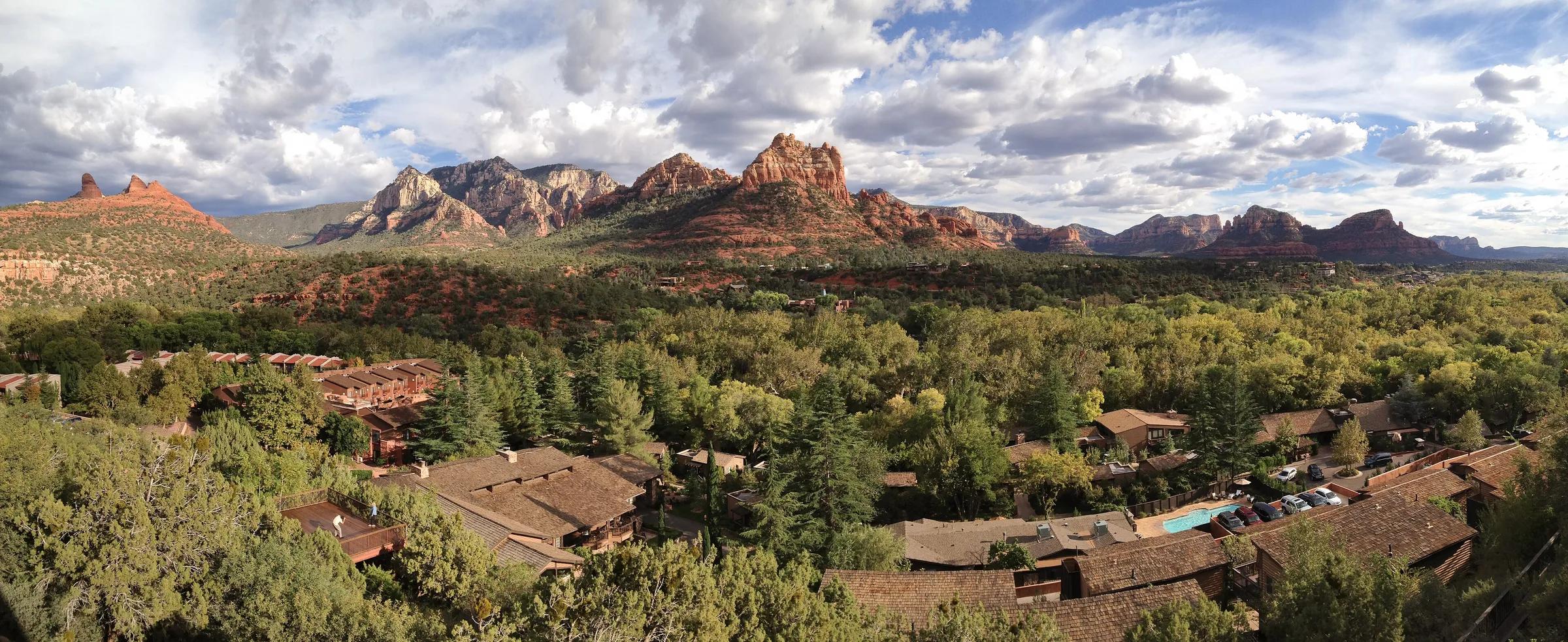
Red sandstone cliffs above Sedona rooftops and trees
Hotels70

Flexible booking

Free cancellation hotels in Sedona

If flights, trail conditions or the rest of a northern Arizona road trip could still change, book a rate with free cancellation.

from $65/night814 hotels compared

We compare hotels from top providers

/logo/skyscanner.svg logo/logo/kayak.svg logo/logo/trip.com.svg logo/logo/hotelscombined.svg logo/logo/booking.com.svg logo

About Sedona

Sedona sits among red sandstone formations in Arizona’s Verde Valley. Stay in Uptown for restaurants and tour departures. West Sedona is closer to the Dry Creek trailheads, and the Village of Oak Creek is near Bell Rock.

State Route 89A runs through Uptown and West Sedona. Uptown is the simplest place to walk between galleries, cafés and tour meeting points, but a room on the main road can hear traffic. West Sedona has more everyday shops and a shorter drive toward Dry Creek Road and Devil’s Bridge.

South of the center, the Village of Oak Creek lies along scenic State Route 179 near Bell Rock and Courthouse Butte. The Chapel of the Holy Cross and Tlaquepaque Arts & Shopping Village sit between this corridor and Uptown. A hotel here is better placed for southern trailheads than for an evening walk in Uptown.

Oak Creek Canyon follows the twisting stretch of 89A north toward Flagstaff. Its creekside stops and Slide Rock State Park are a different day out from the red-rock trails. Trailhead parking fills up. On operating days the Sedona Shuttle runs to some of the busiest trailheads, so check the current schedule before you go.

Sedona is spread across several areas, and many trailheads are too far to walk to from a hotel. Spring and fall are easier for exposed hikes. Summer afternoons are hot, and the July and August monsoon brings more rain. Carry water and check the current Forest Service parking-pass rules for your trail.
State
Arizona
Time zone
Mountain Standard Time (MST)
Main major airport
Phoenix Sky Harbor International (PHX)
Nearest commercial airport
Flagstaff Pulliam (FLG)
Scenic routes
State Routes 89A and 179
Setting
Verde Valley red-rock country
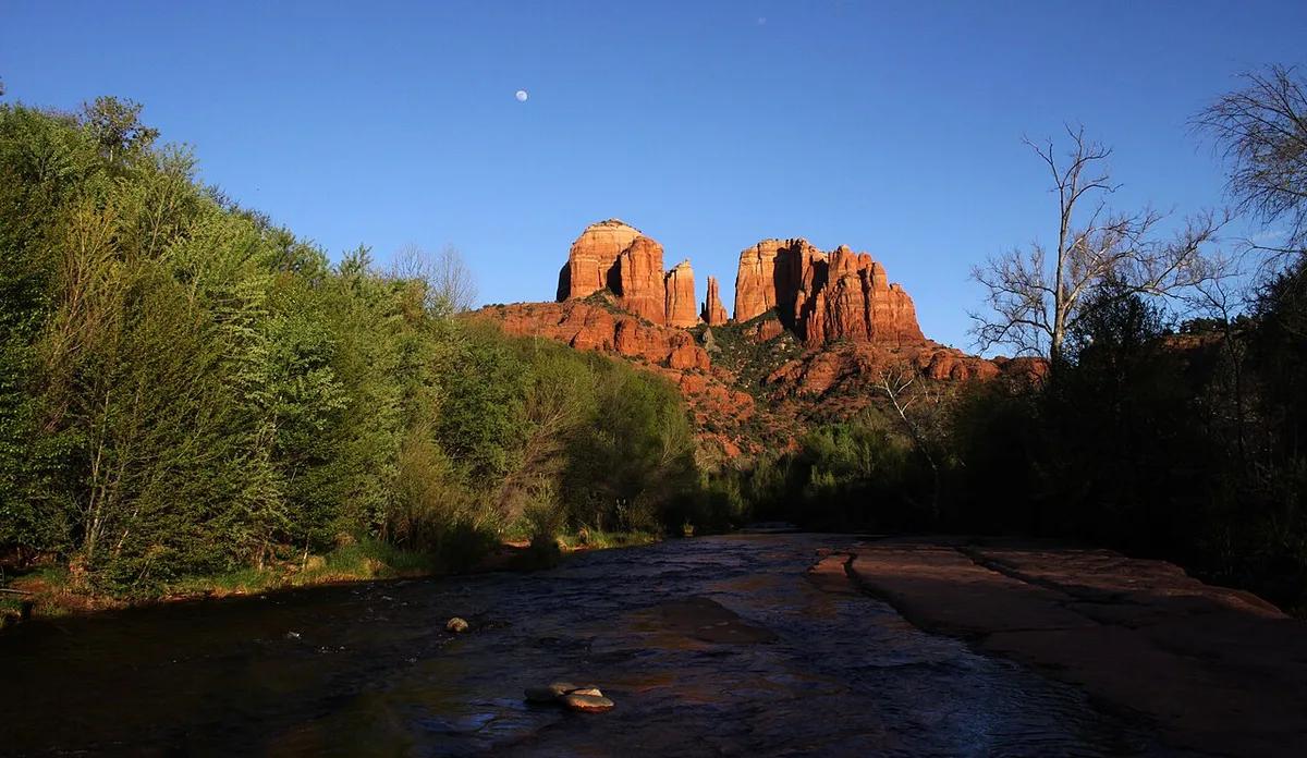
Cathedral Rock rising above Sedona’s red sandstone landscape
Cathedral Rock
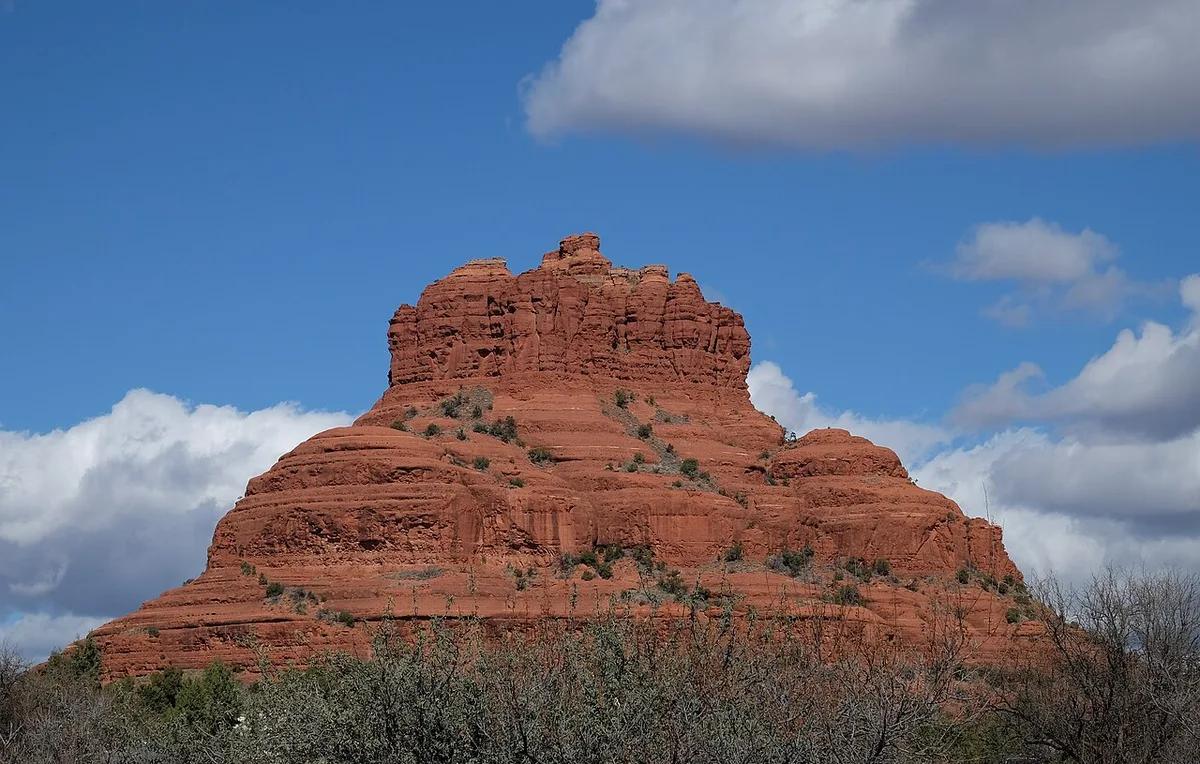
Bell Rock formation beside the Sedona trail landscape
Bell Rock
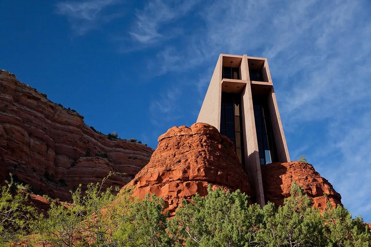
Chapel of the Holy Cross built among red rock cliffs
Chapel of the Holy Cross
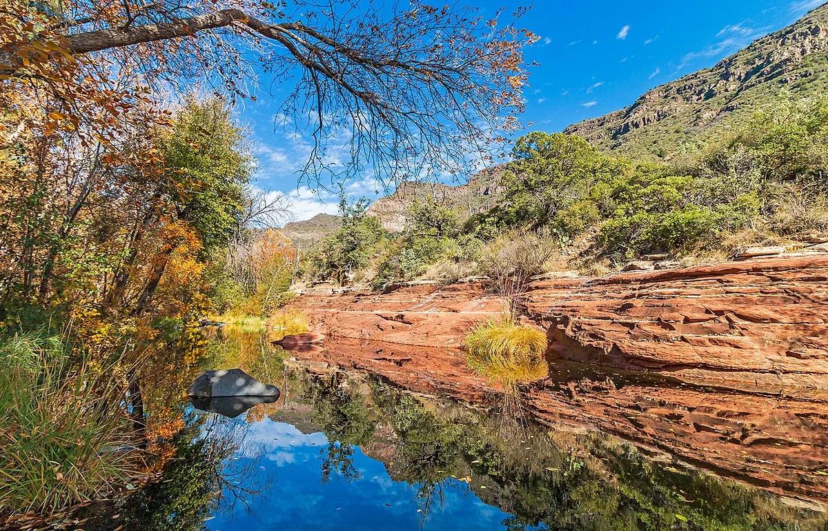
Oak Creek reflecting autumn trees and sandstone banks near Sedona
Oak Creek in autumn
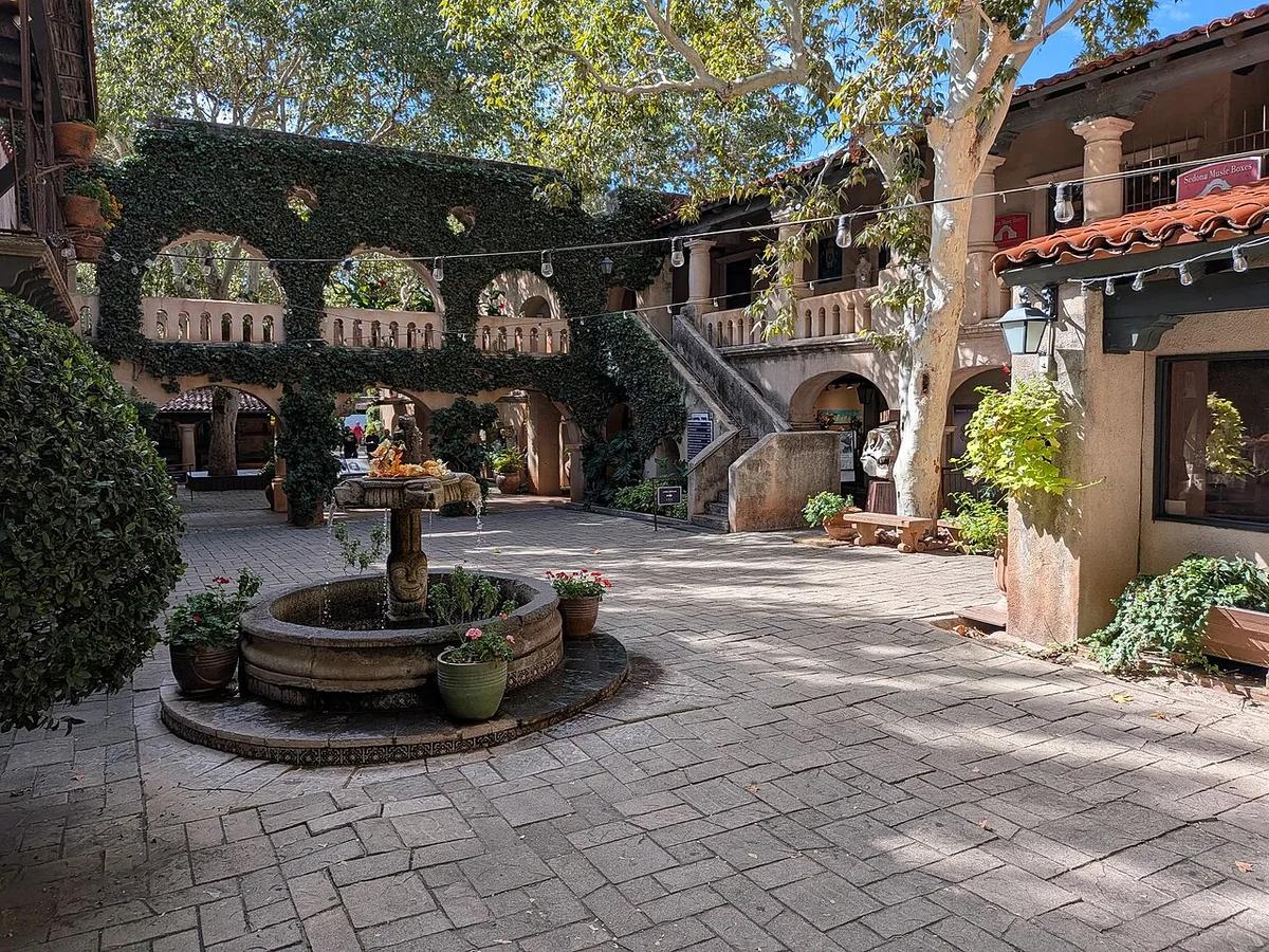
Courtyard and fountain at Tlaquepaque in Sedona
Tlaquepaque Arts & Shopping Village
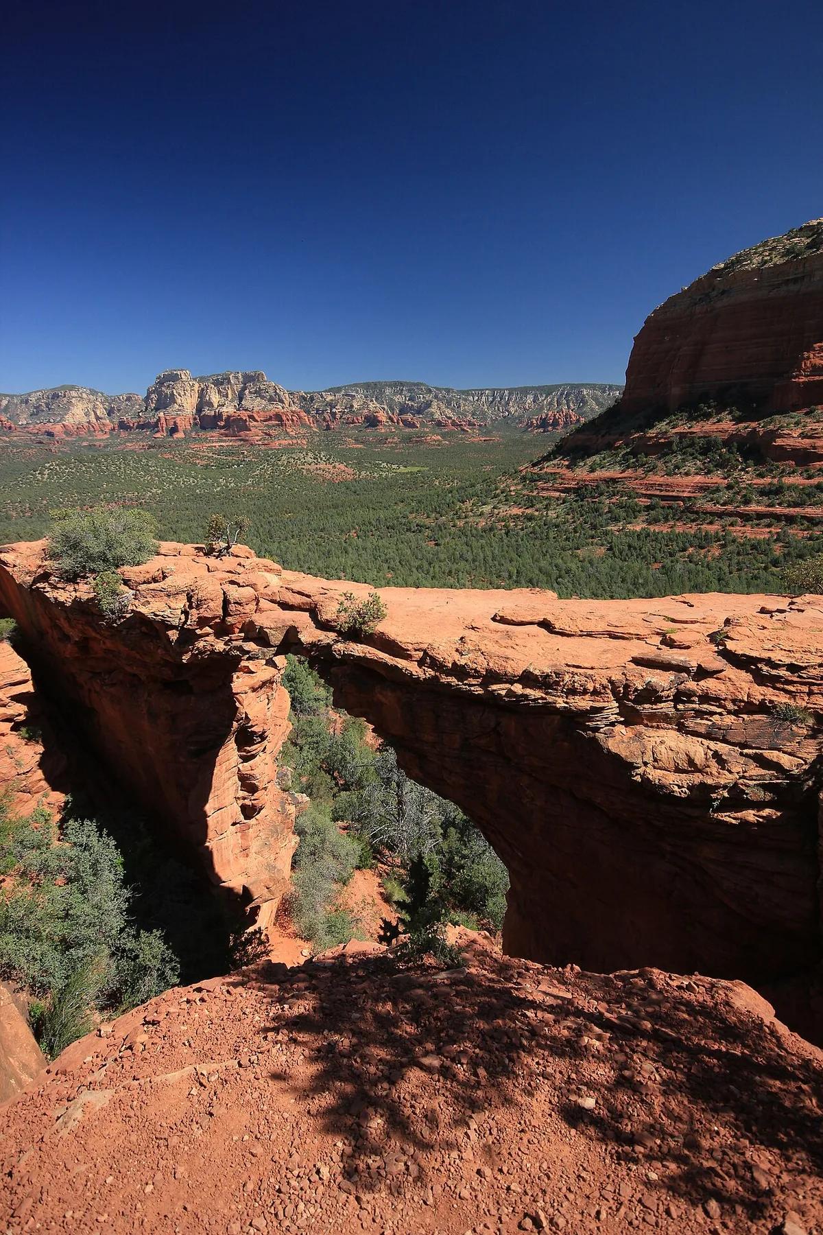
Devil’s Bridge natural sandstone arch in Sedona
Devil’s Bridge
Photo credits

Where to stay in Sedona

  • Uptown Sedona

    • First visits
    • Restaurants
    • Tour departures
    • Car-light evenings

    This short stretch of shops and restaurants near the 89A and 179 junction is the easiest place to walk to galleries and tour departures. Ask whether your room faces the busy road. Cathedral Rock and Dry Creek are still a drive.

    Around here: Sedona Visitor Center, State Route 89A, Uptown galleries

  • West Sedona

    • Dry Creek hikes
    • Groceries
    • Longer stays
    • Road trips

    West Sedona follows 89A past grocery shops and local restaurants. Dry Creek Road branches off toward Devil’s Bridge, Boynton Canyon and other western trailheads. Stay here if you are hiking and have a car. Uptown evenings mean a drive or the shuttle.

    Around here: Dry Creek Road, Devil’s Bridge, Boynton Canyon

  • Village of Oak Creek

    • Bell Rock walks
    • Scenic drives
    • Quieter stays
    • Golf

    South of the central Sedona junction, this separate community sits near Bell Rock and Courthouse Butte on scenic Route 179. Pick it for the southern trails and quieter evenings. Uptown restaurants are a drive away.

    Around here: Bell Rock, Courthouse Butte, State Route 179

  • Chapel and Tlaquepaque corridor

    • Galleries
    • Chapel visits
    • Couples
    • Short stays

    Between Uptown and the Village of Oak Creek, the Route 179 corridor is a short drive from Tlaquepaque’s galleries and the Chapel of the Holy Cross. Traffic and hotel access depend on the exact turnoff, so check the map before booking.

    Around here: Tlaquepaque Arts & Shopping Village, Chapel of the Holy Cross, State Route 179

  • Oak Creek Canyon

    • Creek days
    • Forest scenery
    • Scenic drives
    • Quiet retreats

    North of Uptown, 89A winds through a forested canyon toward Slide Rock State Park. Canyon lodgings put you by the creek and the forest, farther from Uptown restaurants. The road is winding, and you need a car to get around.

    Around here: Oak Creek, Slide Rock State Park, State Route 89A

Best time to visit Sedona

March through May and October bring milder conditions for exposed red-rock trails. June is dry but hot. July and August are the warmest and have more rainy days. Winter mornings can be near freezing, but clear afternoons are fine for shorter walks.

Average high and low (°F)Days with rainDrier months
  1. Jan: average high 58 °F, low 34 °F, 5.5 days with rain. Cool desert mornings
  2. Feb: average high 61 °F, low 36 °F, 5.6 days with rain. Cool desert mornings
  3. Mar: average high 68 °F, low 40 °F, 5.8 days with rain. Spring hiking weather
  4. Apr: average high 75 °F, low 44 °F, 3.3 days with rain. Milder afternoons
  5. May: average high 84 °F, low 53 °F, 2.7 days with rain. Warm, dry days
  6. Jun: average high 94 °F, low 61 °F, 1.4 days with rain. Hot, dry afternoons
  7. Jul: average high 97 °F, low 68 °F, 6.4 days with rain. Hot and storm-prone
  8. Aug: average high 94 °F, low 67 °F, 9 days with rain. Summer monsoon rain
  9. Sep: average high 89 °F, low 61 °F, 4.7 days with rain. Warm days
  10. Oct: average high 79 °F, low 51 °F, 3.3 days with rain. Milder hiking weather
  11. Nov: average high 67 °F, low 41 °F, 3.4 days with rain. Cooler evenings
  12. Dec: average high 58 °F, low 33 °F, 3.8 days with rain. Cool desert mornings
Source: Wikipedia: Sedona, Arizona (NOAA 1991–2020 normals)

Getting to Sedona

Phoenix Sky Harbor is the main major airport for Sedona. From there, drive north on I-17, then take Route 179 through the Village of Oak Creek, or 260 and 89A for West Sedona. Flagstaff Pulliam is closer but has fewer flights.

PHXPhoenix Sky Harbor International Airport

119 mi from downtown

To Sedona
About 2 hours by road, depending on traffic

Rent a car for trailheads and the spread-out districts, or check an airport shuttle to Sedona. The drive follows I-17 and then a scenic state route.

FLGFlagstaff Pulliam Airport

26 mi from downtown

To Sedona
Allow roughly an hour by road

Rent a car or book a transfer. The way in is the winding Route 89A through Oak Creek Canyon.

Other ways to arrive

Car
State Route 179 comes in from I-17 through the Village of Oak Creek. State Route 89A reaches Sedona through Oak Creek Canyon from Flagstaff.
Shuttle
Sedona Shuttle serves selected trailheads on operating days, and the Verde Shuttle runs along parts of 89A and 179. Check current routes and hours before relying on either.
On foot
Uptown is walkable for dining and galleries, but the main visitor areas and trailheads are spread apart.

Questions about Sedona

Why choose a refundable Sedona room?

Weather and trail access can move a hike. July and August bring more rain days than June, so check conditions before you lock in long hikes.

Does free cancellation cover every room at a hotel?

No. The rules come with each booking site and room rate. Look up the cancellation cutoff and payment timing before you reserve.

Which base allows the easiest change of plans?

Uptown, where dining and galleries are close together. West Sedona also works: it has its own shops and restaurants along 89A and a shorter drive to Dry Creek.

Get more with App

Get real time price drop alerts, faster results and personalised experience along with exclusive deals.

App preview
Hotels70