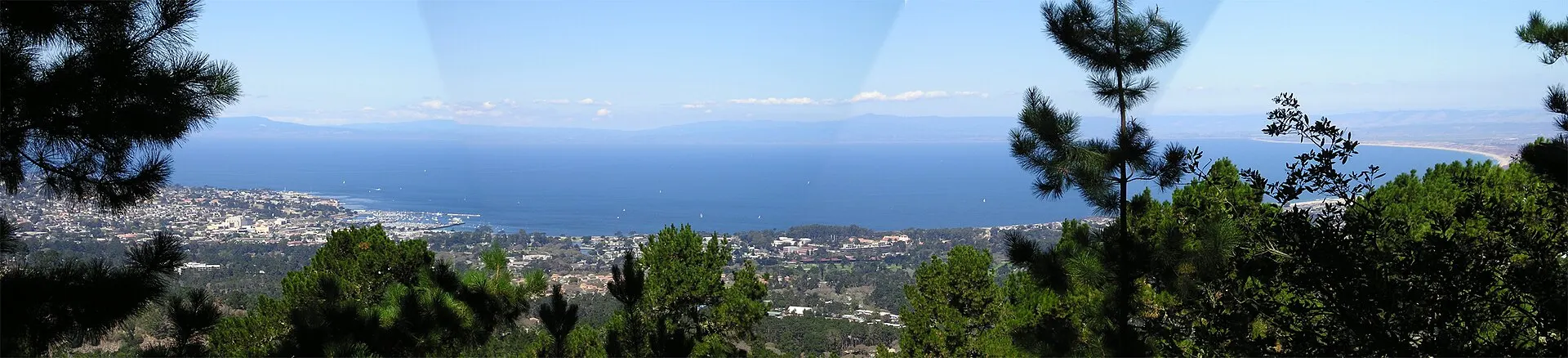
Monterey Bay and city seen from Jacks Peak
Hotels70

Book soon

Last-minute hotels in Monterey

If the waterfront is booked up, look at Old Monterey and Munras Avenue, and work out the walk or drive to Cannery Row.

from $56/night281 hotels compared

We compare hotels from top providers

/logo/skyscanner.svg logo/logo/kayak.svg logo/logo/trip.com.svg logo/logo/hotelscombined.svg logo/logo/booking.com.svg logo

About Monterey

Monterey curves around the south side of Monterey Bay. Stay on Cannery Row and the aquarium is a short walk. Old Monterey and Alvarado Street have the historic streets and most of the restaurants. Del Monte Beach is the quieter stretch of sand.

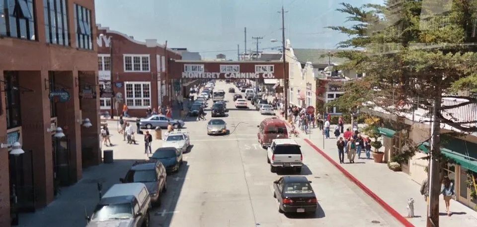
Cannery Row runs along the old sardine-canning waterfront to the Monterey Bay Aquarium. Hotels here keep you close to the aquarium and the shore walk toward Pacific Grove. Old Monterey’s historic buildings are farther away, but the Monterey Bay Coastal Recreation Trail connects the two on foot or by bike.

Old Monterey centers on Alvarado Street, Custom House Plaza and the Path of History. The restaurants and the Monterey Conference Center are close to the wharf. Stay here to walk to dinner and harbor tours. The aquarium becomes a separate trip along the water.

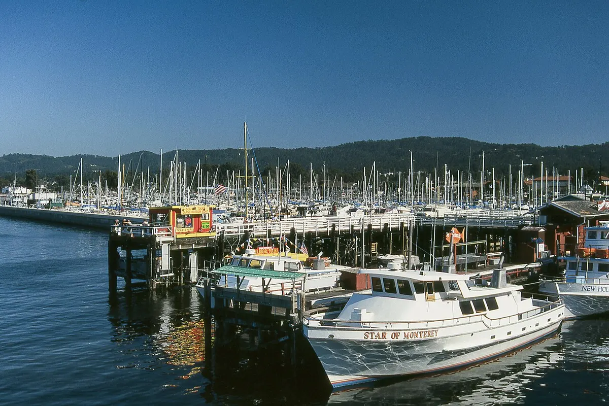
Old Fisherman’s Wharf extends into the harbor beside Monterey State Historic Park. Boat trips leave from here, and the trail continues east to Del Monte Beach. The beach is quieter and farther from Cannery Row. You get sand and fewer crowds, but the aquarium is a ride or a long walk back.

Monterey’s coastal weather stays cool even in summer, when fog or low cloud can linger into the morning. September often has the warmest afternoons, and winter brings most of the rain. Monterey Regional Airport is east of downtown. A car helps for Carmel, Pebble Beach or Big Sur. In central Monterey, walking or the local bus is easier.
County
Monterey County
Time zone
Pacific (PT)
Main airport
Monterey Regional Airport (MRY)
Waterfront route
Monterey Bay Coastal Recreation Trail
Historic district
Old Monterey
Climate
Cool coastal summers
Cannery Row street and old cannery buildings in Monterey
Cannery Row
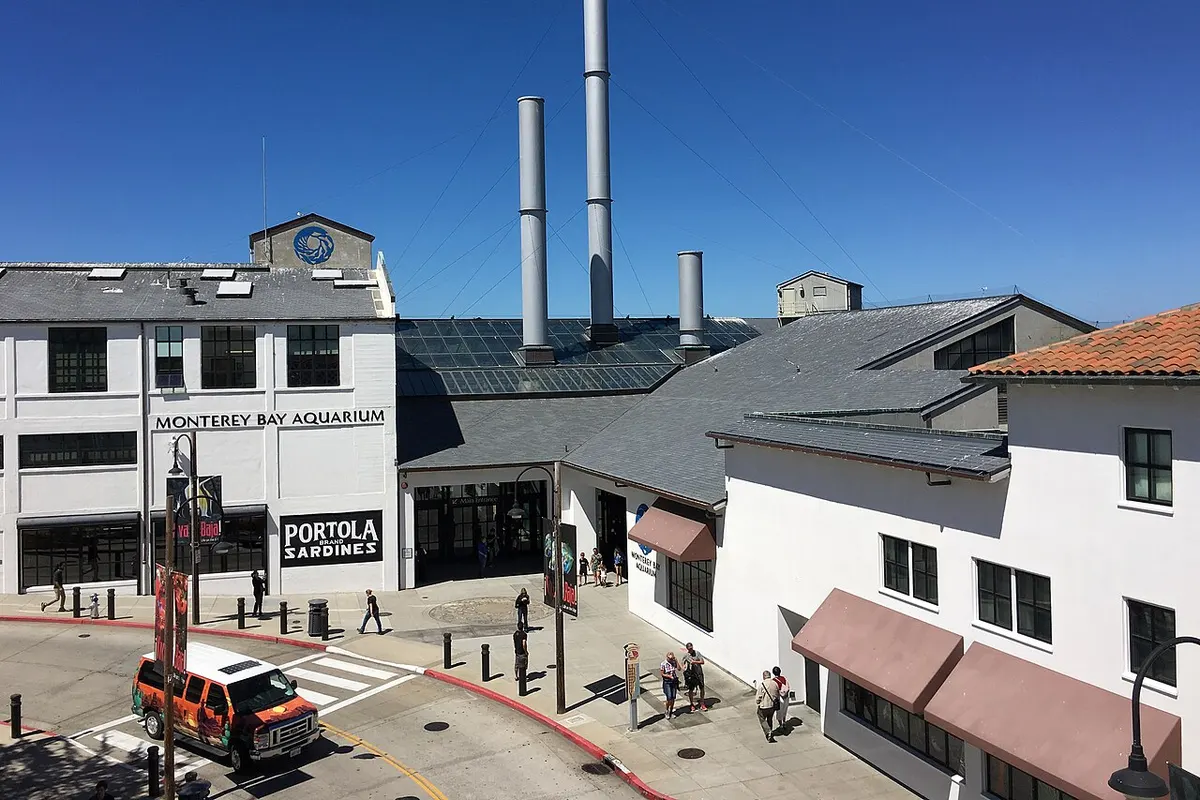
Monterey Bay Aquarium entrance on Cannery Row
Monterey Bay Aquarium
Old Fisherman’s Wharf at Monterey harbor
Old Fisherman’s Wharf
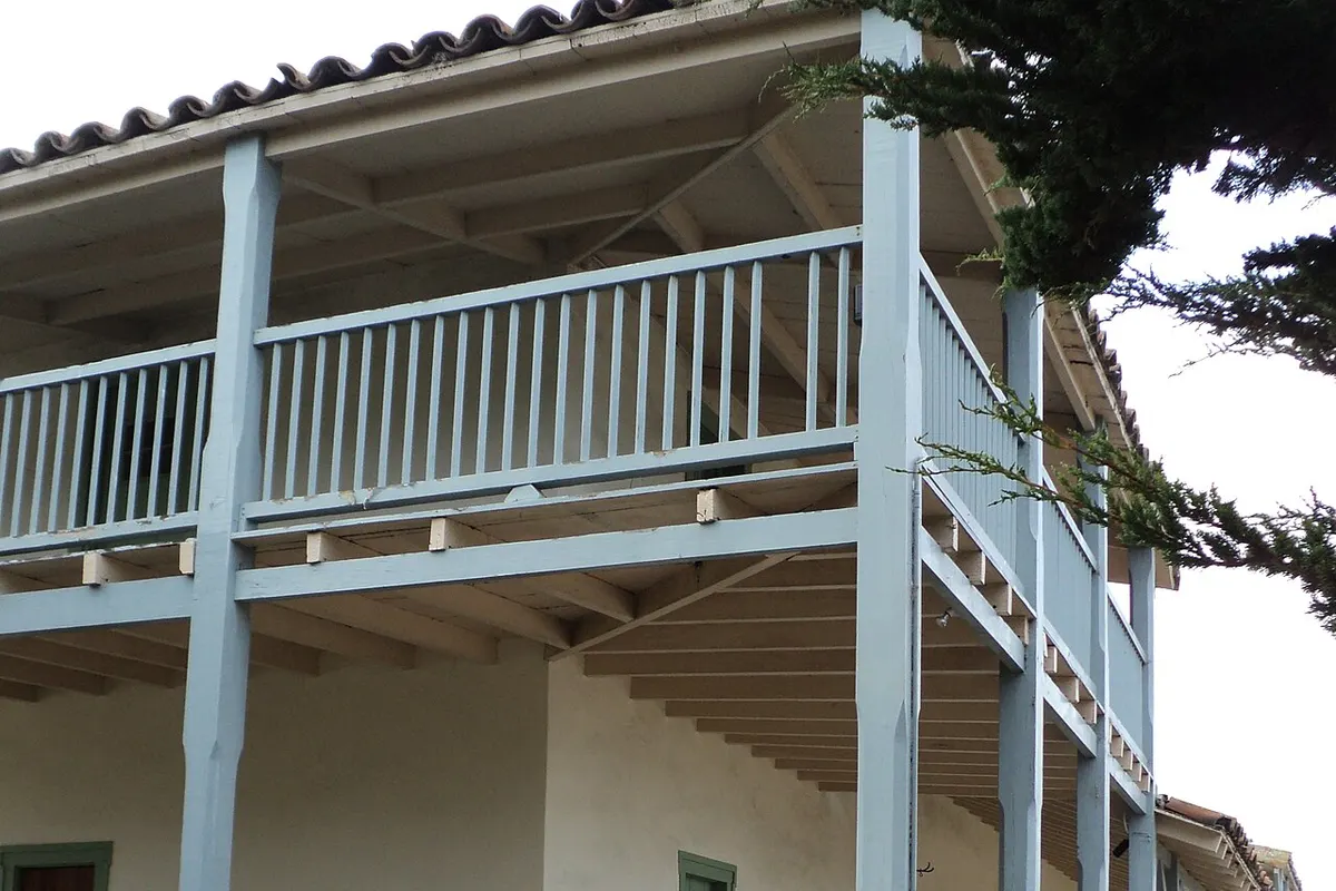
Historic Custom House in Old Monterey
Monterey Custom House
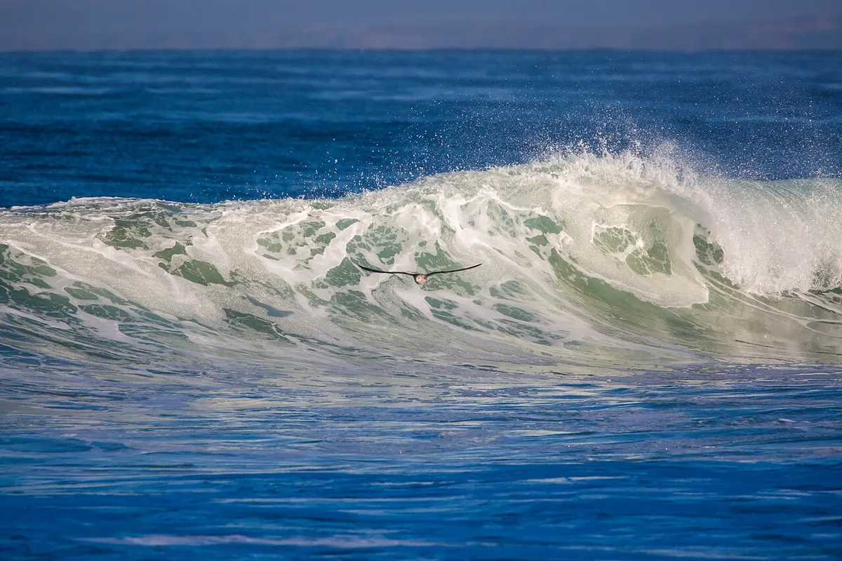
Surf at Del Monte Beach in Monterey
Del Monte Beach
Photo credits

Where to stay in Monterey

  • Cannery Row

    • Aquarium visits
    • Waterfront walks
    • Bay views
    • First visits

    Stay near the Monterey Bay Aquarium and the waterfront path toward Pacific Grove. Cannery Row has restaurants and sea views, but you will walk or ride to Alvarado Street and the Old Monterey historic buildings.

    Around here: Monterey Bay Aquarium, Cannery Row, McAbee Beach

  • Old Monterey and Alvarado Street

    • Restaurants
    • Historic walks
    • Conference trips
    • Car-free stays

    Alvarado Street is downtown’s main street for restaurants and shops. The Monterey Conference Center, Custom House Plaza and the Path of History are close. The aquarium is farther west along the shore.

    Around here: Alvarado Street, Monterey Conference Center, Custom House Plaza

  • Old Fisherman’s Wharf and Harbor

    • Boat trips
    • Harbor views
    • History
    • Short visits

    The wharf is beside the marina and Custom House Plaza. Boat trips and the Coastal Recreation Trail start nearby. Cannery Row is a walk west. The waterfront gets busy, so check the exact block if you want a quiet night.

    Around here: Old Fisherman’s Wharf, Monterey Harbor, Custom House

  • Del Monte Beach

    • Beach walks
    • Quiet stays
    • Driving trips
    • Longer visits

    East of the harbor, Del Monte Beach has sand and the bayfront trail without the Cannery Row crowds. Book here for the beach. The aquarium and the Old Monterey restaurants are farther away.

    Around here: Del Monte Beach, Monterey State Beach, Coastal Recreation Trail

  • Munras Avenue and Del Monte Center

    • Road trips
    • Shopping
    • Parking
    • Peninsula day trips

    Munras Avenue runs inland from downtown, past hotel blocks, to the Del Monte shopping area and Highway 1. It works if you are driving beyond Monterey. The wharf and Cannery Row are a longer walk or a ride.

    Around here: Munras Avenue, Del Monte Center, Highway 1

Best time to visit Monterey

September and October often have Monterey’s warmest afternoons and less marine cloud than summer. Summer by the bay is mild, not hot, so bring a layer for the waterfront. Winter is cooler and wetter, and spring slowly dries out.

Average high and low (°F)Days with rainDrier months
  1. Jan: average high 59 °F, low 43 °F, 10.7 days with rain. Cool and wet
  2. Feb: average high 60 °F, low 44 °F, 11.6 days with rain. Rainy season
  3. Mar: average high 61 °F, low 46 °F, 10.1 days with rain. Spring showers
  4. Apr: average high 62 °F, low 47 °F, 7 days with rain. Cool spring
  5. May: average high 63 °F, low 50 °F, 3.9 days with rain. Drier days
  6. Jun: average high 65 °F, low 52 °F, 2.1 days with rain. Marine layer possible
  7. Jul: average high 66 °F, low 54 °F, 1.1 days with rain. Cool coastal summer
  8. Aug: average high 67 °F, low 55 °F, 2 days with rain. Marine layer possible
  9. Sep: average high 68 °F, low 54 °F, 1.5 days with rain. Warmest afternoons
  10. Oct: average high 67 °F, low 51 °F, 4.2 days with rain. Dry autumn days
  11. Nov: average high 63 °F, low 46 °F, 7.7 days with rain. Rain returns
  12. Dec: average high 58 °F, low 43 °F, 10.2 days with rain. Cool and wet
Source: Wikipedia: Monterey, California (NOAA 1991–2020 climate normals)

Getting to Monterey

Monterey Regional Airport (MRY) is 3.5 miles east of downtown. Highway 1 reaches the peninsula from the north and south, and Monterey-Salinas Transit buses cover local trips. Monterey has no passenger rail station of its own, so if you come by train, the last leg is by road.

MRYMonterey Regional Airport

4 mi from downtown

To Downtown Monterey
About 10 minutes by car
To Cannery Row
Continue west through downtown by road

Taxis, rideshares and rental cars run from the airport to downtown and Cannery Row. If you take Monterey-Salinas Transit, check the current bus schedule.

Other ways to arrive

Car
Highway 1 reaches Monterey. A car is useful for Carmel, Pebble Beach and Big Sur. Check the parking terms at waterfront hotels.
Bus
Monterey-Salinas Transit links the peninsula and the wider county. Check the current route for your hotel and airport connection.
Walk and bike
The Monterey Bay Coastal Recreation Trail links the wharf, Cannery Row and the shore toward Pacific Grove.

Questions about Monterey

Where can I look if Cannery Row is full?

Try Old Monterey for the wharf and Alvarado Street, then Munras Avenue if you are driving. Both need a separate trip to the aquarium.

Is Monterey Regional Airport convenient for a short stay?

MRY is 3.5 miles east of downtown. A taxi or rideshare is quick, traffic permitting.

Are last-minute Monterey rates always lower?

No. Rates move with your dates and local events. Compare the current total with how far you will be from the places you plan to visit.

Get more with App

Get real time price drop alerts, faster results and personalised experience along with exclusive deals.

App preview
Hotels70