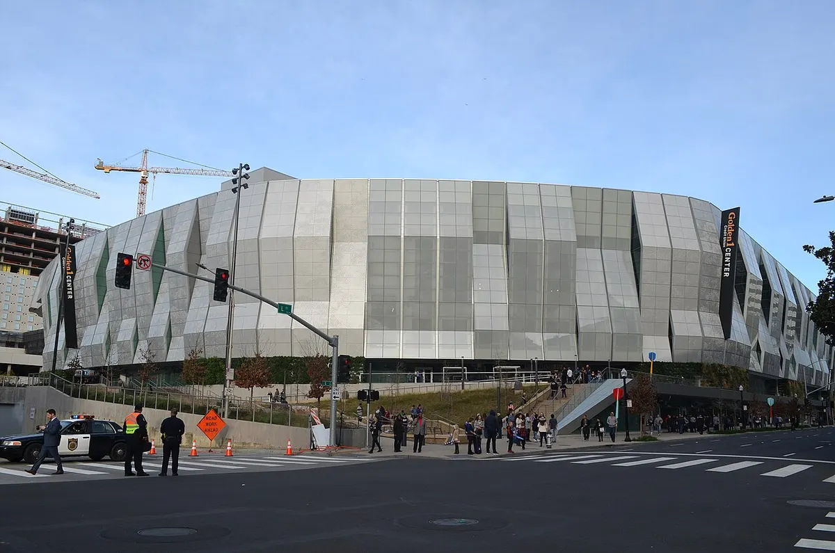
Sacramento skyline, riverfront and Tower Bridge seen from West Sacramento
Hotels70

Book soon

Last-minute hotels in Sacramento

For a near-term Sacramento stay, start with your arrival point: SMF, Sacramento Valley Station or a downtown event.

from $68/night257 hotels compared

We compare hotels from top providers

/logo/skyscanner.svg logo/logo/kayak.svg logo/logo/trip.com.svg logo/logo/hotelscombined.svg logo/logo/booking.com.svg logo

About Sacramento

Sacramento sits where the Sacramento and American rivers meet. Downtown puts the Capitol, Golden 1 Center and convention venues close together; Midtown is the better choice for evenings around restaurants and local shops.

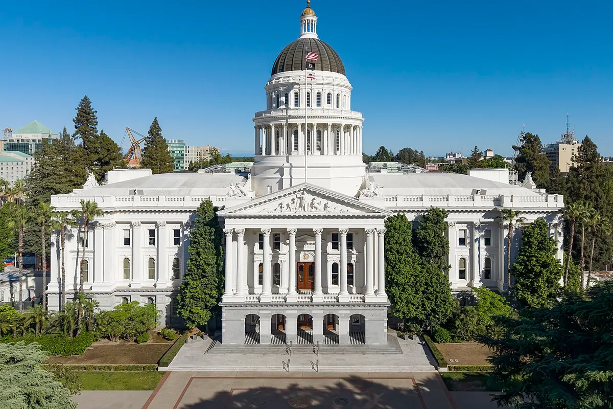
The California State Capitol, Golden 1 Center and SAFE Credit Union Convention Center are all on the downtown grid. Capitol Mall runs west from the Capitol to Tower Bridge and the river. Staying here saves rides between state offices, meetings and the arena. The trade-off: some blocks go quiet after office hours.

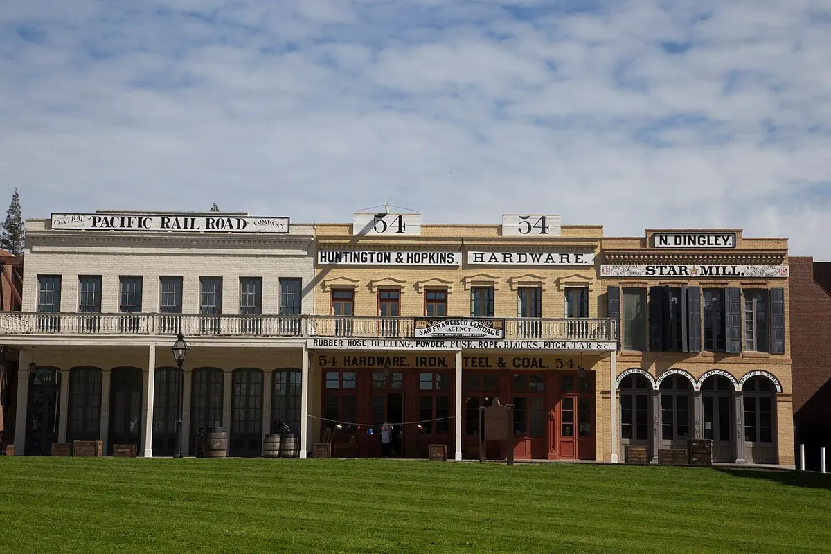
Old Sacramento Waterfront is on the river, just west of downtown. Its old commercial streets, the California State Railroad Museum and Tower Bridge fill a sightseeing day. For more hotels to choose from, look a few blocks east in downtown.

Midtown starts east of the Capitol, on tree-lined streets of houses, restaurants and galleries. Sutter’s Fort State Historic Park is here too. East Sacramento continues toward McKinley Park and Sacramento State. Land Park, to the south, has the zoo and Fairytale Town. These neighborhoods are quieter, but most downtown events are a ride away.

Summers are hot and almost dry; most of the rain falls in winter. Sacramento International Airport is northwest of downtown, and SacRT Route 142 runs from there to central stops. Amtrak trains stop at Sacramento Valley Station on the north edge of downtown. Light rail runs from the center out into the wider region.
State
California
Time zone
Pacific (PT)
Main airport
Sacramento International (SMF)
Main rail station
Sacramento Valley Station
Rivers
Sacramento and American
Airport bus
SacRT Route 142
California State Capitol building in Sacramento
California State Capitol
Historic Central Pacific Railroad and hardware storefronts in Old Sacramento
Old Sacramento Historic District
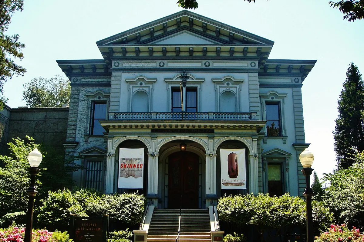
Entrance to Crocker Art Museum in Sacramento
Crocker Art Museum
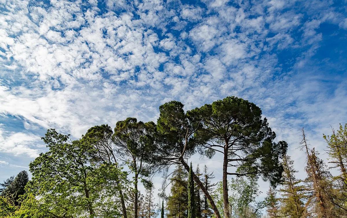
Trees and path in William Land Park
William Land Park
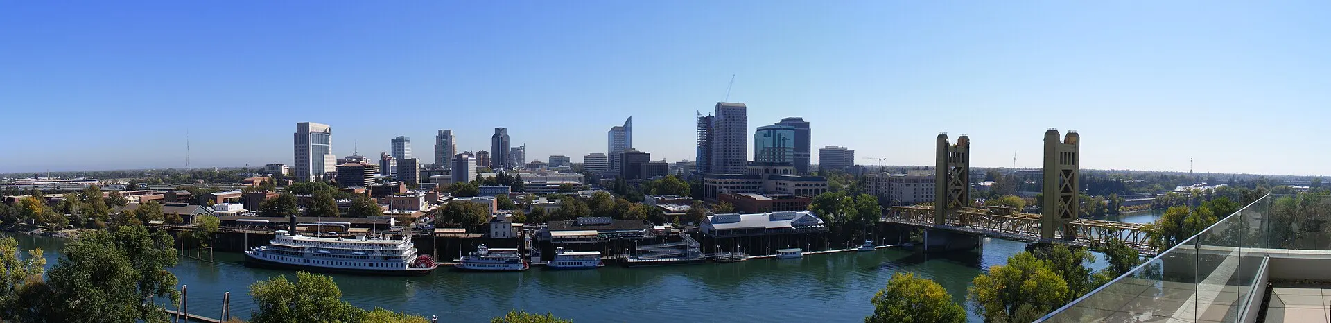
Golden 1 Center in downtown Sacramento
Golden 1 Center
Photo credits

Where to stay in Sacramento

  • Downtown and Capitol Mall

    • First visits
    • Conventions
    • Arena events
    • Train arrivals

    The State Capitol, Golden 1 Center and the Convention Center are all on the central grid. Sacramento Valley Station and the light rail stops are close for arrival and regional trips. For meetings and arena nights this is the most practical place to stay. For nightlife, you head east to Midtown.

    Around here: California State Capitol, Golden 1 Center, SAFE Credit Union Convention Center

  • Old Sacramento Waterfront

    • Riverfront walks
    • Railroad Museum
    • Short visits
    • History

    The old riverfront blocks have the California State Railroad Museum, shops and a view of Tower Bridge. Stay here for river walks and the Railroad Museum. For more hotels and restaurants, look at the downtown grid or Midtown.

    Around here: California State Railroad Museum, Tower Bridge, Old Sacramento Waterfront

  • Midtown

    • Restaurants
    • Galleries
    • Longer stays
    • Evening outings

    Midtown is the grid of restaurants, galleries and houses east of the Capitol. Sutter’s Fort is on its east side; the Convention Center is near its western edge. Stay here for dinners out and longer visits, and expect a longer walk to Old Sacramento.

    Around here: Sutter’s Fort State Historic Park, Midtown Sacramento, SAFE Credit Union Convention Center

  • Land Park

    • Families
    • Park days
    • Driving trips
    • Quiet stays

    William Land Park, south of the central grid, holds the Sacramento Zoo and Fairytale Town. The streets around it are quiet and residential, which suits family days and trips by car. Downtown meetings and the riverfront are a separate ride.

    Around here: William Land Park, Sacramento Zoo, Fairytale Town

  • East Sacramento

    • Neighborhood stays
    • Park walks
    • Sacramento State visits
    • Longer trips

    East Sacramento runs from Midtown toward McKinley Park and Sacramento State. It is a quieter area of local shops and the park. If your plans center on the Capitol, Golden 1 Center or Old Sacramento, check the hotel’s parking or transit first.

    Around here: McKinley Park, Sacramento State, American River Parkway

Best time to visit Sacramento

Spring and autumn are the comfortable seasons for walking around the Capitol, the riverfront and the parks. June through September can be hot and dry, so do outdoor stops in the morning or evening. Most rain falls from November through March.

Average high and low (°F)Days with rainDrier months
  1. Jan: average high 56 °F, low 39 °F, 10 days with rain. Cool and wet
  2. Feb: average high 61 °F, low 42 °F, 9.1 days with rain. Cool and wet
  3. Mar: average high 66 °F, low 45 °F, 9 days with rain. Spring rain
  4. Apr: average high 72 °F, low 47 °F, 5.1 days with rain. Milder days
  5. May: average high 80 °F, low 52 °F, 3.6 days with rain. Warm afternoons
  6. Jun: average high 88 °F, low 57 °F, 1.1 days with rain. Dry heat
  7. Jul: average high 93 °F, low 59 °F, 0.1 days with rain. Hot, dry days
  8. Aug: average high 92 °F, low 59 °F, 0.2 days with rain. Hot, dry days
  9. Sep: average high 89 °F, low 57 °F, 0.7 days with rain. Warm days
  10. Oct: average high 79 °F, low 50 °F, 3.1 days with rain. Mild autumn
  11. Nov: average high 65 °F, low 43 °F, 6.1 days with rain. Rain returns
  12. Dec: average high 56 °F, low 39 °F, 9.6 days with rain. Cool and wet
Source: Wikipedia: Sacramento, California (Sacramento Executive Airport, NOAA 1991–2020 normals)

Getting to Sacramento

Sacramento International Airport (SMF) is about 12 miles northwest of downtown. SacRT Route 142 runs between the terminals and central stops. Amtrak trains stop at Sacramento Valley Station, and SacRT light rail runs from downtown out along several corridors.

SMFSacramento International Airport

12 mi from downtown

To Downtown
Route 142 to central stops; check the current timetable
To Midtown
Take Route 142 downtown, then walk or transfer to local transit

SacRT Route 142 runs from both terminals to downtown stops. Hotels outside the central grid need a taxi, rideshare or rental car.

Other ways to arrive

Train
Amtrak Capitol Corridor, San Joaquins and long-distance trains serve Sacramento Valley Station near the northern edge of downtown.
Transit
SacRT light rail Blue and Gold lines cross the central grid; buses reach neighborhoods away from rail.
Car
I-5 and I-80 connect Sacramento to the region. Check parking charges at downtown hotels and event venues.

Questions about Sacramento

Where should I look for a last-minute arena stay?

Golden 1 Center is downtown. Check the central grid first, then Midtown if you want restaurants after the show.

Can I reach downtown from SMF late?

SacRT Route 142 runs between the airport and downtown. Check its last departure before counting on it after a late flight.

What if downtown rooms are full?

Try Midtown, then hotels farther out along light rail or I-5. Work out the trip to your meeting or venue before you book.

Get more with App

Get real time price drop alerts, faster results and personalised experience along with exclusive deals.

App preview
Hotels70